
Walking a Davidson County Street
Start with one precise address, then work outward through records keyed to the land. The current property roll identifies the parcel, its owner field, the situs address, and a tax mailing address. The map helps distinguish nearby parcels from ones that only look close on a street label. A recorded deed establishes the instrument and legal description behind a transfer. Voter material can only be consulted through the lawful state and county channels, and historical reverse directories can add former address-based entries. These sources do not form a public household roster.
- Enter the street number and name in the Metro Nashville/Davidson County Assessor of Property Search. Save the map-and-parcel identifier, owner name, situs address, mailing address, subdivision, and any sale or exemption fields shown.
- Open the same location in the Nashville Parcel Viewer. Select the parcel and the visible parcels along the relevant block, then use View Details for ownership, property, zoning, assessment, and permit history links.
- Use the parcel and current owner to locate the purchase instrument through the Davidson County Online Access Portal. Keep the legal description, recording reference, grantor, and grantee together.
- For registration status or a no-match, use the Tennessee Voter Registration Lookup for an individual record or contact the Davidson County Election Commission. It is not a browse-by-block web list.
- For older occupants, ask Metro Archives or NPL Special Collections for a criss-cross or city-directory street section. The address sections begin with the 1910 directory era, while earlier volumes must be searched by name.
Keep a simple log of the date searched, parcel ID, address form, and source. Directional prefixes, street-type abbreviations, suites, renamed numbers, and subdivision changes can make the same place appear under more than one search string.
Davidson County Street Search Fields
The Assessor search is the fastest current doorway into a Davidson County street directory. Its short search accepts a term for an address, owner name, or parcel ID. Advanced Search supports a partial property address, so the street number is optional when the goal is to see candidate parcels. The portal asks for at least three characters in its examples. Its owner result is an assessment field, not proof of present occupancy.
| Search field | Input | Required | Davidson County use |
|---|---|---|---|
| Search Term | Text | One-term mode | Property address, owner name, or parcel ID |
| Owner Name | Text | Optional | Examples include John Smith, J Smith, and Doe, John |
| Property Address | Text | Optional | Street number may be omitted for a broader street result |
| Subdivision Name | Text | Optional | Useful when a street crosses a recorded subdivision |
| Sale Date Start / End | Date pair | Optional | Narrows property results by a date range |
| Control Map, Group, Parcel | Text components | Optional | Control map is three digits with up to two letters; parcel is five digits and may use a decimal |
| Sort By | Radio buttons | Optional | Owner, property address, parcel ID, subdivision, classification, or sale date |
The portal also exposes classification and sale-date controls. The official text reviewed did not list every classification option, so a searcher should read the live dropdown rather than assume a category exists.
Use the Assessor property-search landing page to see the live search examples and current-roll notice.
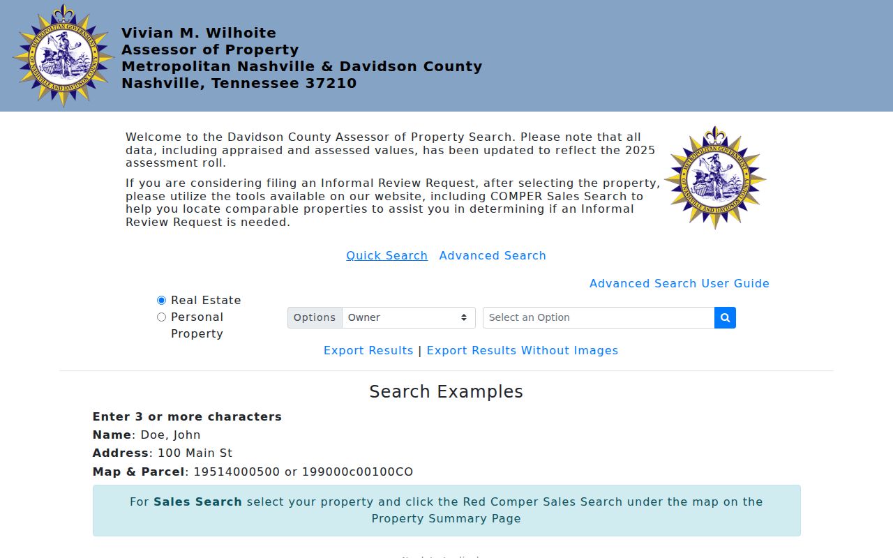
The assessor screen shows why address, owner, and map-parcel searches should be kept as separate checks. A mailing address may be useful as a tax-contact clue, but it is not evidence that the named person currently occupies the parcel.
Mapping Davidson County Parcels by Street
The Nashville Parcel Viewer supplies the spatial part of a by-address search. It can search Parcel Address or Intersection, Current Owner, Street Name, Parcel ID, owner, description, city, ZIP code, acreage, sale date, sale price, zoning, overlay district, land use, council district, and tax district. A street search finds a candidate segment; clicking a parcel and choosing View Details supplies the individual record context.
Use the map toolbar to identify or select features, draw a custom shape, measure, print, export an extent-based CSV, or zoom to records. A custom shape is useful for one block, but it has a geographic meaning only. A parcel across an alley, behind a corner lot, or across the river can appear near the shape without being part of the same social block.
The Nashville Parcel Viewer is Metro's public map for parcel, ownership, zoning, assessment, property-history, and permit information.
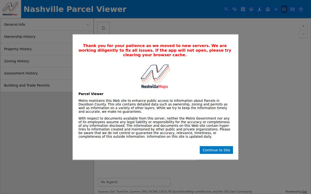
Use map results to capture parcel IDs and visible boundaries, then confirm ownership questions with the Register's recorded documents. Metro describes the viewer as daily updated but disclaims accuracy and completeness, so it is not a legal survey.
Note: GIS geometry helps locate land, while the recorded instrument controls a legal-description question.
Davidson County Address Record Layers
A street directory draws from several Davidson County record systems, each with a different purpose. Pair the street number with the parcel ID whenever possible. The parcel connects the assessment roll to the map, the deed's legal description, permits, and a subdivision plat. A street string alone is less reliable when a parcel was merged, split, or converted to a horizontal property regime.
| Address-keyed source | Davidson County keeper | What it can establish | Access route |
|---|---|---|---|
| Assessor parcel card | Metro Assessor | Owner field, situs and mailing addresses, parcel, values, classification, exemptions, and sale fields | Free WebPro search; not certified title |
| GIS parcel record | Metro Planning / GIS | Geometry, adjacent parcels, ZIP, zoning, districts, and history links | Free viewer, map search, print, and export tools |
| Recorded deed or plat | Register of Deeds | Transfer parties, recording reference, liens, legal description, and lot or block geometry | Portal or office; historic indexes and books at Metro Archives |
| Permit or inspection | Metro Codes | Property work, inspection status, applicant or contractor fields, and available reports | ePermits, Document Search, or a records request |
| Property-standard case | Metro Codes | Complaint or case status, violation type, and address | Public history viewer with a stated two-year window |
| Directory street section | NPL / Metro Archives | Historical address entry, occupation, spouse or widow notation, and printed status marks | In person, with selected digitized years |
Tax-payment and delinquency information has its own keeper. The Metropolitan Trustee provides payment and history access, while Chancery handles delinquent tax litigation and sales. Those records can describe a parcel's tax trail, not a list of everyone associated with its street address.
Davidson County Street Record Terms
Several short terms prevent a by-street search from taking a wrong turn. Record both forms of the address, then use the land description to compare documents across changing street labels.
- Parcel
- A mapped unit of land with a map-and-parcel identifier used by the assessor and GIS.
- Situs address
- The physical property location. It can differ from the owner’s tax mailing address.
- Plat
- A recorded map that can show a subdivision, lot, block, or other land geometry.
- Legal description
- The land description used in the deed. It is the bridge for a chain of title when a street number changes.
- Criss-cross directory
- A historical address-to-name directory arrangement, unlike a name-first directory.
For a broader past-household search, the historical volumes and their access limits are covered on the Davidson County city directory page.
Following Davidson County Deeds Along a Street
Property research becomes a deed-chain task after the parcel has been identified. Search the current owner as grantee near the sale date, then record the grantor, grantee, instrument type, book and page or document number, recording date, and legal description. Search that seller as grantee in an earlier period. Repeat only where the legal description or lot and block continue to match the parcel.
The Register records warranty deeds, deeds of trust, releases, liens, plats, powers of attorney, and related instruments. Its land-record software began in 2017, but the official material does not state the earliest year in the online index. When the online trail ends, Metro Archives provides direct and reverse deed indexes on microfilm for 1784 through 1924 and original deed books to about the 1960s. Direct and reverse describe the seller and buyer paths through that older index.
Use the Davidson County Register of Deeds for office information and the portal entry, or ask Metro Archives for the older microfilm and books. A gap between documents can reflect an estate, trust, corporate transfer, quitclaim, foreclosure, or unrecorded family action. It does not prove that land was unused.
Davidson County Permit Evidence by Address
Metro Codes adds a current address layer to the street directory. ePermits covers construction, trade, and property-standard records, while the Document of Record search accepts permit number, street-number and street-name components, direction, street type, suite, ZIP code, and map-and-parcel values. Code-violation history can be searched by property address, map-and-parcel, or RFS case number, with a stated two-year public database window.
A permit can show an application, inspection, signoff, or related child permit. The named applicant may be an owner, architect, contractor, or agent, so it should not be treated as a resident list. The old EPAV route carries a May 18, 2026 retirement notice. Use the current Codes routes instead and make a public-record request for confidential, oversized, or unposted documents.
Metro's Codes public-records and information page links the current access paths.
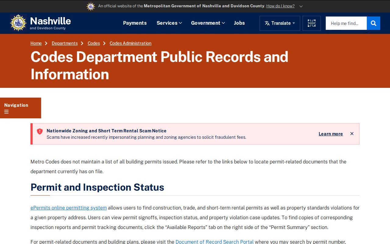
The Codes search options make ZIP and parcel useful supporting filters when a street name is common. Save the permit number with the address and parcel so the record can be checked again later.
Davidson County Street History Breaks
Street research in Davidson County crosses several record eras. Nashville City Directories run from 1853/54 through 2011, but the NPL description places address searching from 1910 forward. Earlier volumes are name-first. Suburban directories begin in the 1950s and help with places outside the old corporate limits. Nashville-Davidson consolidation in 1963 also means that city, county, and Metro labels do not always describe the same historic filing area.
The county's official ZIP map is a planning reference dated November 2017, not an address-history index. Postal boundaries can cross county lines and do not follow parcels or neighborhood boundaries. When a result seems absent, try the directional form, a fully spelled street type, a number without suite information, the parcel number, and the legal description. Record a failed search as well as a successful one.
Note: A directory publication date, deed recording date, permit date, and occupancy date describe different events.
Davidson County Street Voter Access
Voter information answers a narrower question than a street directory. Tennessee's public lookup is intended for an individual registration and absentee-status check. If it returns no record, its instructions point users to the Davidson County Election Commission. The dynamic field details were not available in the reviewed official text, so a searcher should use the live state form and avoid assuming that a street string will return every person on that street.
Registration records exclude SSN, driver-license number, and Department of Safety ID. Larger computerized lists and compiled voter history are governed by T.C.A. §§ 2-2-127 and 2-2-138, including certification rules for the applicable political-use provision. Ask the Election Commission for the current form, fields, delivery format, fee, and protected-voter treatment. Voting history can show participation, never ballot choices.
Limits of a Davidson County Street Directory
Public property records identify land and assessment ownership, not every person at an address. A homestead exemption is only an owner-occupancy clue. The public voter lookup is for an individual registration and status check, while larger voter lists have statutory certification, fee, and use restrictions under T.C.A. § 2-2-138. Voter history does not reveal ballot choices. The Davidson Election Commission is the local fallback for a no-match, correction, or current request procedure.
Addresses in driver records are closed by the federal Driver's Privacy Protection Act. Utility, delivery, and private-association data are not public household rolls. Tennessee Safe at Home can provide a substitute address for eligible participants, though it does not erase old records and cannot replace property-tax assessment or real-property recording addresses. Ask the actual custodian about a protected-person or redaction procedure.
Lawful use. Davidson County address records are for personal, lawful research and civic or family-history questions. T.C.A. § 39-17-315 addresses stalking; do not use address information to monitor, harass, intimidate, or harm anyone.