
Davidson County Neighbors by Block
Start the block search with parcels. The map and property roll can establish which lots touch or sit near the starting parcel, plus the owner name and tax mailing address associated with each assessment record. Historic directories and community organizations answer narrower questions and should not be used to claim that every person in an area is listed. Public voter resources are also not a web tool for browsing everyone on a block. Each source gives a different, limited view of Davidson County neighbors.
| Source | What It Shows About a Block | Access |
|---|---|---|
| Nashville Parcel Viewer | Parcel outlines, adjacent lots, current owner fields, zoning, districts, and history links | Free public map, search, select, print, and export tools |
| Metro Assessor property roll | Assessed owner, situs and mailing addresses, map-and-parcel ID, values, exemptions, and sale fields | Free WebPro property search |
| Register of Deeds | Recorded transfer parties, legal descriptions, plats, and instrument references | Portal or office; older deed indexes at Metro Archives |
| Tennessee voter resources | Individual registration and status channel, subject to statutory list rules | Lookup and Davidson Election Commission fallback |
| Metro neighborhood links | Public organization contacts and coverage context, not a private member list | Metro Planning directory of linked groups |
Property ownership and occupancy are different facts. A tax mailing address can be a useful contact clue, but it may be a business, estate, or separate mailing location. A homestead exemption is only an owner-occupancy clue. Neither record provides a complete list of people at an address.
Davidson County Parcel Map Rings
The best way to describe nearby Davidson County neighbors is with three rings. The first ring is the immediate shared-boundary parcels. The second is the same street or block face. The third is the wider ZIP or neighborhood-organization area. The first relies on GIS and the assessor. The second can use street searches, plats, permits, and lawful election channels. The third uses Metro Planning links, civic organizations, schools, cemeteries, and historical directories as context.
Do not merge those rings into one result. A parcel behind a corner lot or across an alley can be physically close while having no ordinary block relationship. A ZIP can cross city or county lines. A neighborhood organization can serve a wide area, or it may publish only a meeting contact. The Parcel Viewer shows physical geography, not social ties.
Davidson County's consolidated Metro geography adds another limit. A Nashville mailing label, a ZIP label, and a historic neighborhood name can all point to different boundaries. Verify the parcel's county and its actual map location before treating it as part of the same block.
Mapping Davidson County Neighbors
The Parcel Viewer is the practical starting place for a block-level search. Search the address or intersection, select the starting parcel, then inspect the lots immediately around it. Its search modes include parcel address, current owner, street name, parcel ID, city, ZIP, acreage, sale date, zoning, overlay district, land use, council district, and tax district. View Details can expose ownership, property, zoning, assessment, and permit-history links for a selected parcel.
- Locate the address in the Nashville Parcel Viewer and save its parcel ID, situs address, and visible boundaries.
- Click each immediate surrounding parcel. Compare parcel IDs and map geometry rather than relying only on the street label.
- Use View Details and the Assessor roll to note the owner field, mailing address, exemption or classification field, and any property-history link.
- Draw a custom shape only when the question is limited to one block. Use Zoom to Records, Print Table, or Export Table to preserve the set reviewed.
- For a whole named street rather than the nearby parcel ring, switch to the Davidson County street directory workflow.
The public Parcel Viewer provides the live map and filter controls.
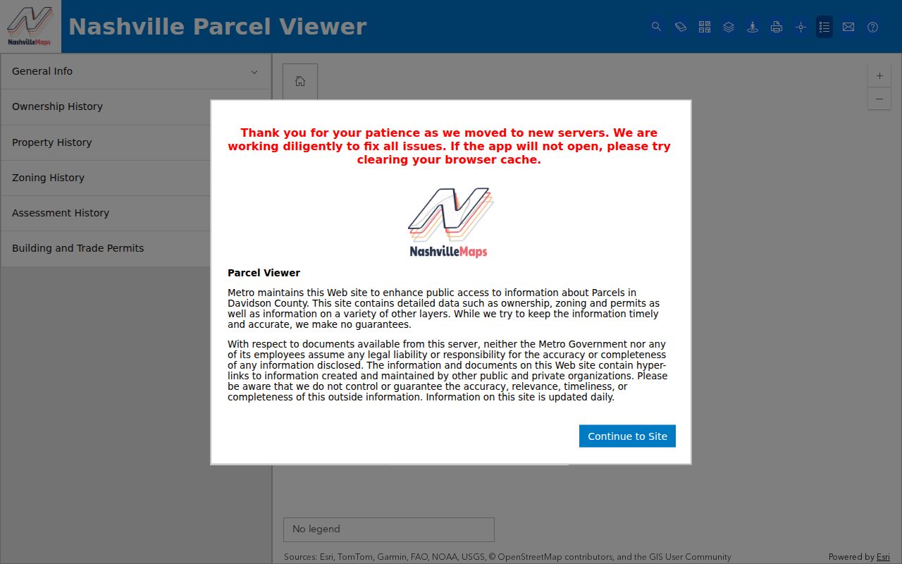
The map can export a selected set and display a range of planning layers. Metro describes it as daily updated, but its disclaimer means a recorded document remains the source for a legal land-description question.
Davidson County Owner and Mailing Clues
Open the Metro Nashville/Davidson County Assessor of Property Search after the map identifies a parcel. The short search accepts a property address, owner name, or parcel ID. Advanced Search also has owner, property address, subdivision, classification, sale-date, parcel-component, and sort controls. The search examples say to enter at least three characters, and the street number is optional in the advanced property-address field.
Save both address types. The situs address is the physical parcel. The mailing address is where tax or official mail goes. They can differ when an owner uses another contact address, a business or estate address, or an older tax record. That difference is often a valuable research lead, but it is not evidence of a person's present location.
The Assessor property-search page shows the current search entry and examples.
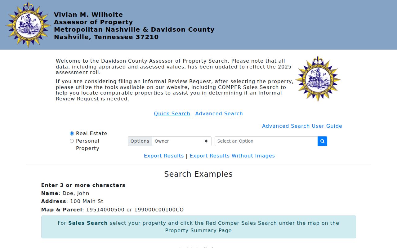
Use the parcel ID to keep same-number results separate. The assessor record can provide a current roll lead, while the Register of Deeds supplies the recorded instrument and legal description.
Davidson County Block Layers
A parcel map can carry more than a boundary. The Parcel Viewer includes zoning, overlay, flood, district, assessment, ownership-history, property-history, and permit-information layers or links. Zoning and flood overlays describe a land or planning condition, not who is associated with a parcel. Council and tax districts can help orient a block within Metro records. Sale-date and sale-price filters are useful only as property research filters.
For an address that has changed form, try the number without a suite, a full street-type spelling, directional variants, or the map-and-parcel number. A permit may reveal a newer address label or a parcel connection. A subdivision plat can show the lot and block used by a deed. These checks matter in Davidson County because city, county, Metro, postal, and neighborhood labels can overlap without matching.
Note: A map label is a location aid, not proof that two parcels share a community relationship.
Davidson County Voter Boundaries
The Tennessee Voter Registration Lookup is a person-and-status route, not a public web browse of all Davidson County neighbors on a block. Its instructions direct a no-match to the local election commission. Tennessee registration records are generally public, but SSN, driver-license number, and Department of Safety ID are excluded. Election participation history never reveals a ballot choice.
T.C.A. § 2-2-138 governs larger or computerized registration listings and the required certification for the political-use provision. The Davidson Election Commission is the human fallback for a no-match, correction, status question, or current request procedure. The research did not locate a current Davidson voter-file order form or price, so neither should be assumed. Protected participants may be suppressed or use a substitute address where permitted.
Use parcel and street evidence first, then consult voter material only through the applicable lawful state or county channel. A failed lookup does not prove that a person moved, died, or never lived at an address.
Davidson County Neighborhood Groups
Metro Planning's Neighborhood Links page lists more than 50 named organizations. It is a useful layer for learning whether a public neighborhood group has a contact method or meeting information near a parcel. It is not a government list of local people, and Metro does not certify that each group covers every lot or has an active public roster.
Central and east
Metro links groups including 12South, Eastwood, Germantown, Inglewood, Salemtown, and Sylvan Park. Check the linked group page for its stated contact or meeting information.
South and west
Belmont-Hillsboro, Cane Ridge, Crieve Hall, Nations, West Meade, Whitland, and Woodbine appear among the named Metro-linked organizations.
North and east edge
Donelson Hermitage and Old Hickory Village are examples of Metro-linked groups. Their public contact information does not establish a complete block membership.
Metro's Civic and Community Engagement program also invites neighborhood, crime-watch, HOA, resident/condo, and coalition groups to register or update their information. Some linked organizations are inactive, private, social-media-only, or represent a broader organization type. Use the public contact as a way to understand coverage, then verify the physical block in GIS.
The Metro neighborhood organization directory is the source for the public links.
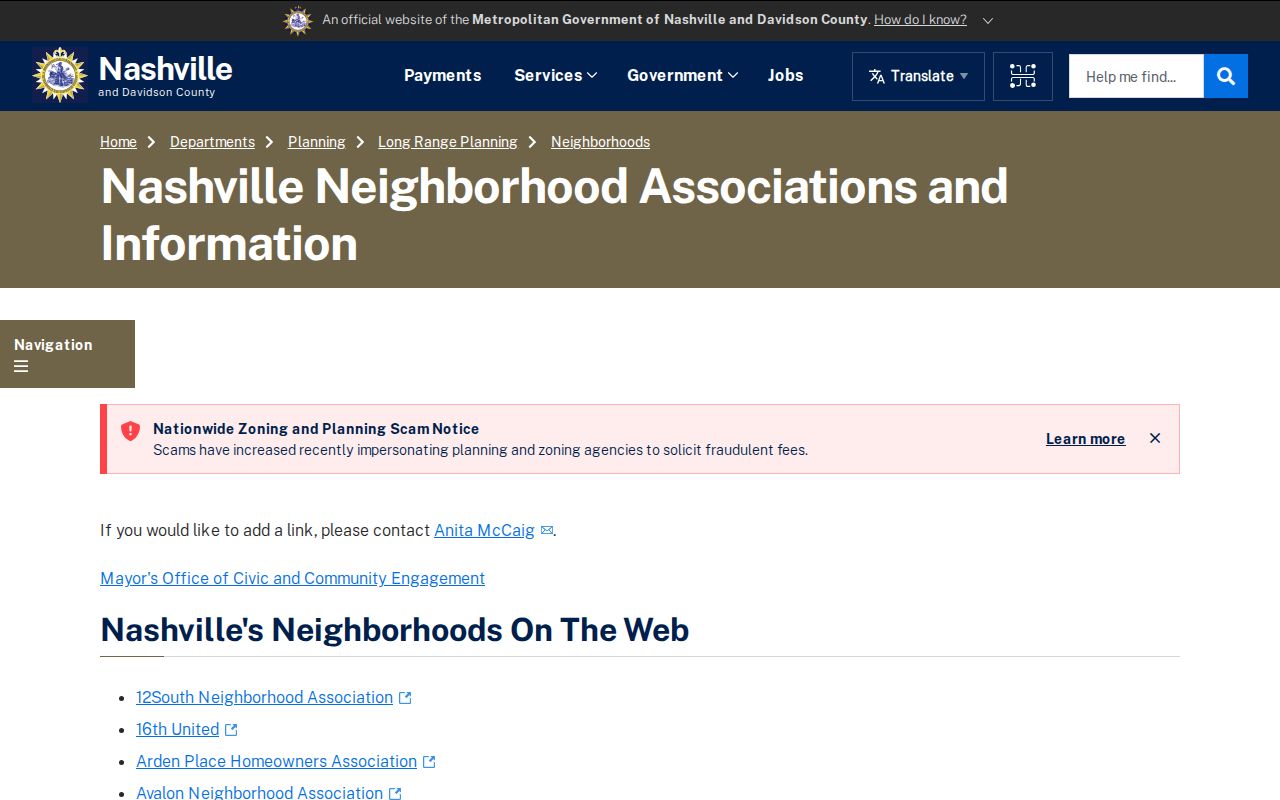
The public list is most useful for community context and current contact channels. It should not be read as proof that a person belongs to an organization or lives at a particular parcel.
Davidson County Neighbors: Source Types
Official land records and commercial neighbor tools work differently. The first category identifies the custodian, a record type, and a date or parcel context that can be checked again. The second category may compile public filings, marketing data, phone or address histories, and purchased data. A result without a record date, parcel, or custodian should not be treated as confirmation about Davidson County neighbors.
| Official parcel and civic records | Commercial neighbor-tool category |
|---|---|
| Shows a defined source such as an assessment roll, map layer, deed, permit, or public organization link | May combine data from several sources without showing the original record context |
| Can be checked with the named Davidson County or Tennessee custodian | May carry stale, merged, or mismatched identity data |
| Has purpose-specific limits, including privacy rules and incomplete fields | Should be treated as a lead only, then checked against official records |
Tennessee's source-level privacy rules still apply. An opt-out from a commercial index does not remove an assessor, deed, voter, court, or archive record. Ask the real custodian about a statutory redaction or protected-person procedure instead of sending a confidential address in a new request.
Privacy Limits on Davidson County Neighbors
Parcel ownership is not a complete picture of a block. Public records do not provide a general list of all occupants, utility customers, delivery recipients, or driver-record addresses. Federal driver privacy rules close ordinary public access to DMV personal information. The public voter lookup also does not turn a street or block into a searchable household list, and the privacy limits on protected voter records still apply.
Tennessee Safe at Home gives eligible participants a substitute address for state and local government use. It does not erase existing records and cannot replace the address required for property listing, appraisal, assessment, tax collection, or real-property recording. A person needing protection should contact the relevant Register, clerk, or election custodian for the current procedure and avoid placing a confidential address in a new request.
Lawful use. Davidson County neighbor records are for personal, lawful research, civic awareness, and reconnecting with a place. T.C.A. § 39-17-315 addresses stalking; do not use this information to monitor, harass, intimidate, or harm anyone.